© Photo:
Virksund - 6,9 km
P: North of the marina (N 56° 36.604’, E 9° 17.455’)
L: 6,9 km
Marking: Blue
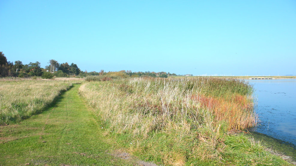
The route follows the coast up to the canal and the pump station, then along old roads and a dried-up lake, across recently discovered settlements from about 5,000 B.C. and past the holiday house area. On some parts of the beach it can be difficult to pass dryshod.