Håsum Enge
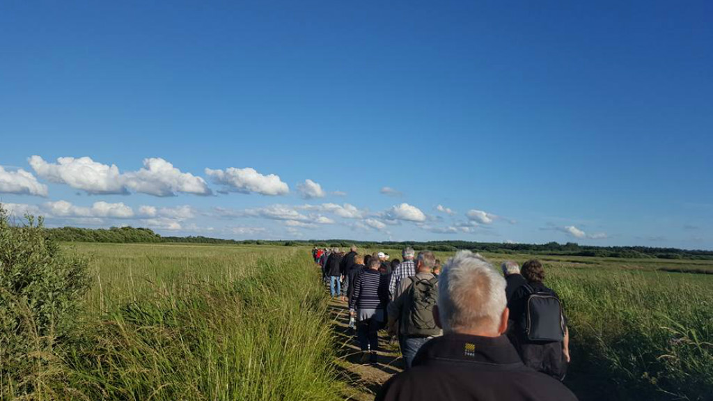
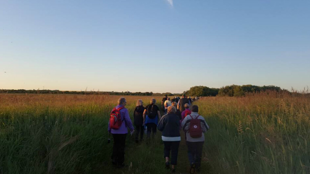
There are 9.1 km of hiking/horseriding routes in Håsum Enge. Furthermore, there are paths that connect the area with Lem, Ejsing, Lavhede and Ramsing.
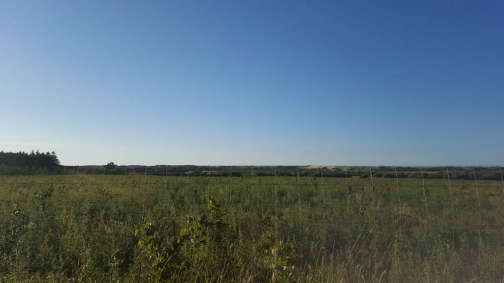
A trip around Håsum Enge, 9.1 km
There are 9.1 km of hiking/horseriding routes in Håsum Enge. Furthermore, there are paths that connect the area with Lem, Ejsing, Lavhede and Ramsing.
Information boards have been set up in several locations on the route.
On the edge of Bustrup Skov, there is a bird-watching tower with a view of the open terrain rich on bird life. Furthermore, an additional bird-watching tower is located at Sdr. Lim Vig.
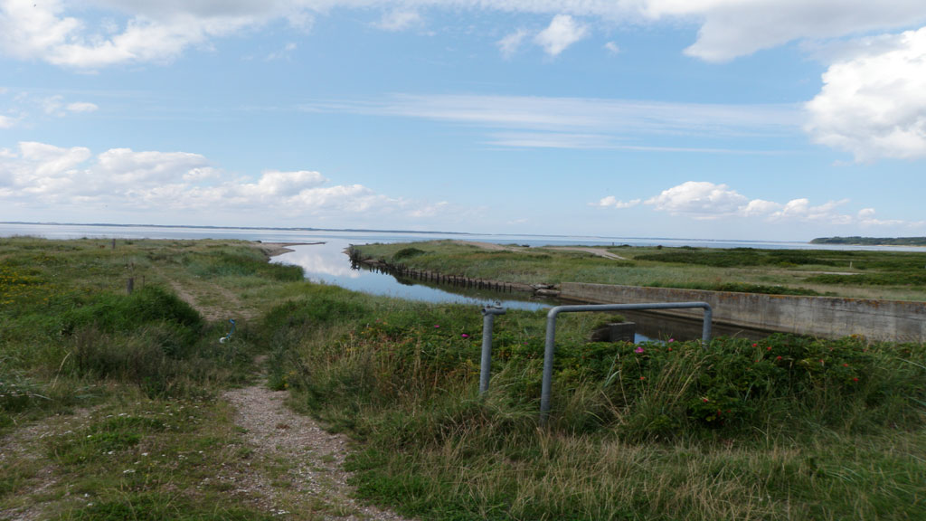
Håsum Meadows
The landscape around Håsum was shaped by the Ice Age for approximately 12,000 years ago. On the north side of the country road Skive - Håsum you can see a distinct moraine landscape with hills and fields. On the south side Håsum meadows is located which mainly consists of flat and sandier areas formed by meltwater deposits. In the Stone Age the area was below sea, but the subsequent land elevation and decomposition have formed the characteristic flat meadow areas where Trævel and Vellum Creeks flows through. Over time, the large meadow areas have been, and still are grazing areas for cattles and sheeps. The area also has a rich bird life, where e.g., it is possible to observe many species of birds of prey.
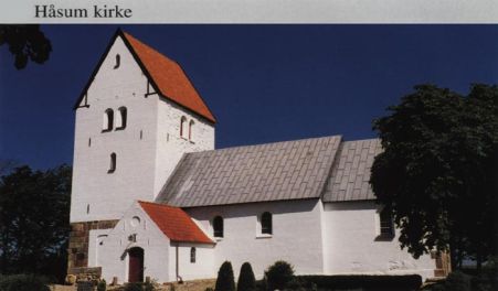
Håsum Church
Håsum Church is a typical Romanesque church from the age around 1050-1100. The building of the church previously consisted of a nave, chancel and apse, but the apse has long since been demolished. A late-Gothic tower to the west, as well as a porch to the south have been added in the end of the 19th century. The Romanesque building is constructed of granite blocks on beveled base.Several of the church's blocks bear traces of fire. A similar incident far back in time is probably the reason that the chancel is unusually crooked compared to the nave. On the north side of the church, you can see a walled-up entrance with a remarkable portico entrance. Similarly, there is a walled-up entrance on the south of the church tower. The entrance once led to a burial ground for the Glob family, who owned Vellumgård. Behind Håsum Church you can see the giant mound “Klokkehøj”.
The trails are proceeded on private land, hence hiking, biking and riding only on the marked routes. Be considerate of others who travel in the area and citizens of the community. Bring your garbage if no garbage cans are found.
Dogs must be kept on a leash
P: At Håsum Church (N 56° 34.792', E 8° 50.867') or Lægårdvej (N 56° 34.380', E 8° 50.046')
L: 10.3 km
Marking: Yellow
Theme
- For the whole family
- Nature experience
- History and culture
- Quiet and contemplation
Type
- Walk/hike
Comment s’y rendre
Klokkehøjen 1
7860 Spøttrup
Dernière mise à jour par ::Destination Limfjordeninfo@destinationlimfjorden.dk
